Felt for Storytelling in the Classroom
This video gives an example of how to use Felt for digital storytelling and debating in the classroom.
We've used @feltmaps at @ihedelft during the module Planning for Urban Climate Adaptation of the MSc Programme on Water and Sustainable Development.
Tutorials at GIS OpenCourseWare: https://courses.gisopencourseware.org...
Felt: https://felt.com/
Set up your classroom on Felt: https://feltmaps.notion.site/Set-up-y...
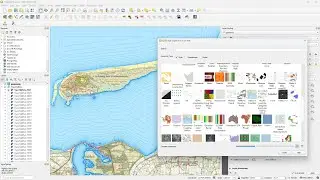
Felt is an online map-making platform. It allows users to create, visualize, analyze, and share maps.
Felt integrates with QGIS through a plugin. This enables users to turn their QGIS projects into interactive web maps with features like live collaboration and commenting.
The tool makes it easy for users to work together on maps and data, and to gather feedback from teammates, guests, or the public. Furthermore, Felt offers a range of analysis tools to manipulate and process spatial data, as well as options to customize the appearance and functionality of maps.
0:00 Introduction
0:15 Apply for using Felt in the classroom
0:45 Organize your class (workspace and projects)
1:33 Layer Library
1:52 Tutorials at GIS OpenCourseWare
4:48 Felt in the classroom
#Felt #GIS #storytelling
Watch video Felt for Storytelling in the Classroom online, duration hours minute second in high quality that is uploaded to the channel Hans van der Kwast 05 March 2024. Share the link to the video on social media so that your subscribers and friends will also watch this video. This video clip has been viewed 1,512 times and liked it 48 visitors.