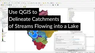
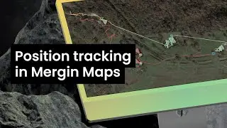
Position Tracking in Mergin Maps
Mergin Maps has a great new feature: position tracking. This video explores this new feature. We'll start with creating a basic project and setting it up for position tracking in QGIS. Then we'll see how to use it in the field for tracking our position and mapping locations. Finally, we'll see how to synchronise the field data with the project when we're back in the office and we'll create a simple visualisation of the pictures taken along the route.
Blog by @LutraConsulting: https://merginmaps.com/blog/you-asked...
Mergin Maps website: https://merginmaps.com/
Thanks to my nephew Finn van der Kwast who helped with some outdoor shots!
0:00 Introduction
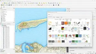
0:58 Setup a basic project in QGIS
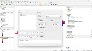
1:44 Configure Mergin Maps for position tracking
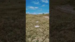
3:22 Position tracking in the field
7:30 Synchronize field data with QGIS
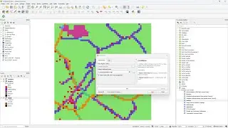
9:20 Use the Raster Image marker to show geolocated photos
#qgis #merginmaps
Watch video Position Tracking in Mergin Maps online, duration hours minute second in high quality that is uploaded to the channel Hans van der Kwast 26 November 2023. Share the link to the video on social media so that your subscribers and friends will also watch this video. This video clip has been viewed 1,759 times and liked it 65 visitors.