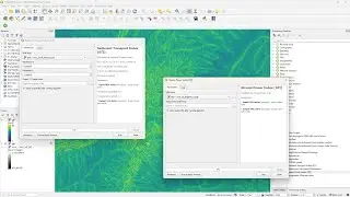
Calculate the Stream Power Index and Sediment Transport Index with PCRaster Tools in QGIS
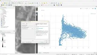
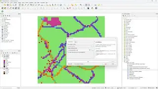
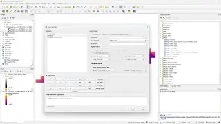
This video shows how to calculate two geomorphological indices that are useful for estimating erosion potential. The first one is the Stream Power Index (SPI), which is a geomorphological metric used to quantify the erosive power of water flow in landscapes. It’s a measure of the potential for water to do work on the landscape, eroding, transporting, and depositing sediment. Next, we calculate the Sediment Transport Index (STI), which is a measure used in geomorphology to quantify the potential for erosion and deposition in a landscape.
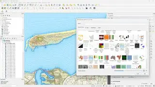
After showing how to manually calculate the result, you'll also see how to get the tools from the QGIS Resource Sharing plugin repository and add them to the Processing Toolbox.
Plugins: PCRaster Tools plugin, QGIS Resource Sharing plugin
Resource sharing repo: https://github.com/jvdkwast/qgisrepos...
QGIS version: 3.28
#QGIS #QGISHydro #PCRaster
Watch video Calculate the Stream Power Index and Sediment Transport Index with PCRaster Tools in QGIS online, duration hours minute second in high quality that is uploaded to the channel Hans van der Kwast 15 November 2023. Share the link to the video on social media so that your subscribers and friends will also watch this video. This video clip has been viewed 2,244 times and liked it 82 visitors.