Create a Mergin Maps mapping project with On-The-Fly Wedge Buffers using Geometry Generators in QGIS
This video shows how to setup a mapping project with QGIS and Mergin Maps that uses the EXIF metadata of pictures to create wedge buffers on-the-fly in the field. We'll use styling with geometry generators. The video is based on example projects provided by the Mergin Maps developers.
QGIS version: 3.26
Plugins: Mergin, PDOK Services
MerginMaps documentation: https://merginmaps.com/docs/
0:00 Introduction
0:26 Install Mergin plugin
0:58 Clone a plublic project
1:45 Set the project extent
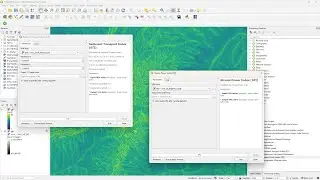
3:10 Add WMTS backdrop from PDOK Services plugin
3:52 Create Map Themes
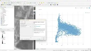
4:30 Check attributes and form widgets
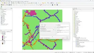
6:48 Style survey points with SVG marker
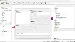
8:12 Add wedge buffers through geometry generator
10:28 Synchronize the project with the cloud
10:47 Load the project in the MerginMaps mobile phone app
12:08 Synchronize mobile phone project with the cloud
13:05 Fine tuning field form
14:30 Create observation preview with date and thumbnail
16:33 Final check on mobile phone app
#QGIS #MerginMaps
Смотрите видео Create a Mergin Maps mapping project with On-The-Fly Wedge Buffers using Geometry Generators in QGIS онлайн, длительностью часов минут секунд в хорошем качестве, которое загружено на канал Hans van der Kwast 20 Октябрь 2022. Делитесь ссылкой на видео в социальных сетях, чтобы ваши подписчики и друзья так же посмотрели это видео. Данный видеоклип посмотрели 4,375 раз и оно понравилось 71 посетителям.

![[YTP] BrayaB Wyatt ends a RawR with MaM Hardy {WWE}](https://images.reviewsvideo.ru/videos/l60P8SIe5yc)