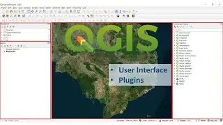
5.1 How to do reference with QGIS
រៀនQGIS ជាភាសាខ្មែរ
Learn Khmer QGIS
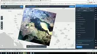
Most GIS projects require georeferencing some raster data. Georeferencing is the process of assigning real-world coordinates to each pixel of the raster. Many times these coordinates are obtained by doing field surveys - collecting coordinates with a GPS device for few easily identifiable features in the image or map. In some cases, where you are looking to digitize scanned maps, you can obtain the coordinates from the markings on the map image itself. Using these sample coordinates or GCPs (Ground Control Points ), the image is warped and made to fit within the chosen coordinate system. In this tutorial I will discuss the concepts, strategies and tools within QGIS to achieve a high accuracy georeferencing.
How to determine datum and coordinate system for old maps.
Georeferencing in QGIS is done via the ‘Georeferencer GDAL’ plugin. This is a core plugin - meaning it is already part of your QGIS installation. You just need to enable it. Go to Plugins ‣ Manage and Install Plugins and enable the Georeferencer GDAL plugin in the Installed tab.
Watch video 5.1 How to do reference with QGIS online, duration hours minute second in high quality that is uploaded to the channel Punwath Prum 10 February 2016. Share the link to the video on social media so that your subscribers and friends will also watch this video. This video clip has been viewed 503 times and liked it 1 visitors.