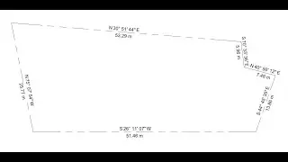
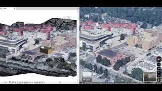
Urban Context in Revit, Validation with Point Cloud
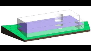
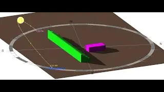
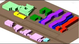
"This video shows how we create an urban context in Revit and validate it with a point cloud in order to do a shadow studies later. It also explains how to set location, elevation above sea level and True North vs. Project North. You will learn how to create building masses and assign material so they cast shadows." The preparation of files used in the video is done by Mr. Jacek Gorka.
Link to the next video "Google Map into Revit by Photogrammetry": • Google Map into Revit by Photogrammetry
Link to the next video "Shading study in Revit 1: Design Building Mass": • Shading study in Revit 1: Design Buil...
Please like and subscribe for more videos!
Смотрите видео Urban Context in Revit, Validation with Point Cloud онлайн, длительностью часов минут секунд в хорошем качестве, которое загружено на канал Hoda Ganji, PhD 05 Март 2024. Делитесь ссылкой на видео в социальных сетях, чтобы ваши подписчики и друзья так же посмотрели это видео. Данный видеоклип посмотрели 1,476 раз и оно понравилось 21 посетителям.